Inertial Navigation systems
OVERVIEW:
We provide system for inertial navigation, guidance, stabilization, surveying & control solution. Our cost-effective, premium high-tech products available in COTs solution and also we do custom design ranging from MEMS gyros to fiber optic gyroscopes and ring laser gyros.
The following list shows some of our products, served applications and our related engineering capabilities:
Data Modem to receive 2G/3G GNSS GBAS Corrections
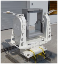
Gyro Stabilized Pan Tilt Gimballed Tracking Platform (EOTS) for up to 60 kg or 130 kg Customized Payload
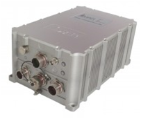
Precision Navigation for Defense Applications (RLG basd; 1 mil true heading; dual-use equipment)
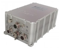
Advanced Navigation, Surveying & Control System (0.005 °/h, 0.8 nm/h, 400 Hz; only dual-use export controlled, ITAR free)
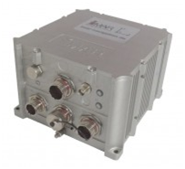
Precision Navigation for Defense Applications (RLG basd; 0.22 mil true heading; ITAR controlled)
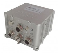
Combat Vehicle Navigation with Gyro Compassing Capability (dual-use equipment)
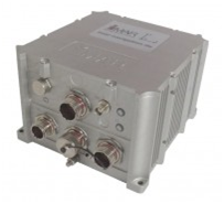
Advanced FOG Based Navigation, Surveying & Control System (0.1 °/h, 1’000 Hz)
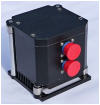
Combat Vehicle Navigation (dual-antenna; not export controlled)
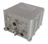
Combat Vehicle Navigation (not export controlled)
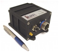
Advanced FOG Based Navigation, Surveying & Control System (1 °/h, 1’000 Hz)
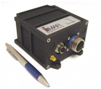
Advanced Navigation System for Support & Logistics Vehicles (not export controlled)
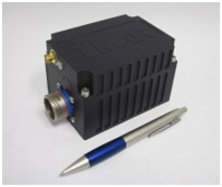
Navigation System for Support & Logistics Vehicles (not export controlled)

Miniature True North related Heading Reference by Dual Antenna GNSS
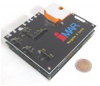
Advanced MEMS Based Navigation, Surveying & Control System (500 Hz)
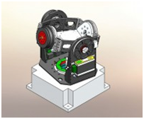
FLAT Advanced MEMS Based Navigation, Surveying & Control System (500 Hz)
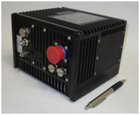
Three-Axes Multiturn Turntable with Optical Sliprings
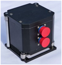
Deeply Coupled INS/GNSS Systems of Class 0.003…20 deg/hr
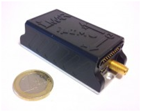
FOG based GNSS aided IMS of class 5 deg/hr
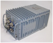
Calibrated Miniature IMU with IMS/GNSS Data Fusion with integrated GPS, Magnetometer, Barometer, Odometer
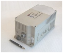
Inertial Gyro Navigation System (ring laser gyro based), 0.001 deg/sqrt(hr)

Inertial Fiber Optic Gyro Navigation System, class 0.75
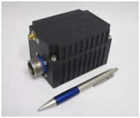
Inertial Fiber Optic Gyro Navigation System with Dual-Antenna GNSS based True Heading, 0.1 deg/sqrt(hr); not covered by export control
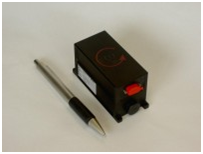
AHRS, Magetometer and Air Data Computer for small Aircraft

Mniature Low Noise Angular Acceleration Sensor with Digital Output
